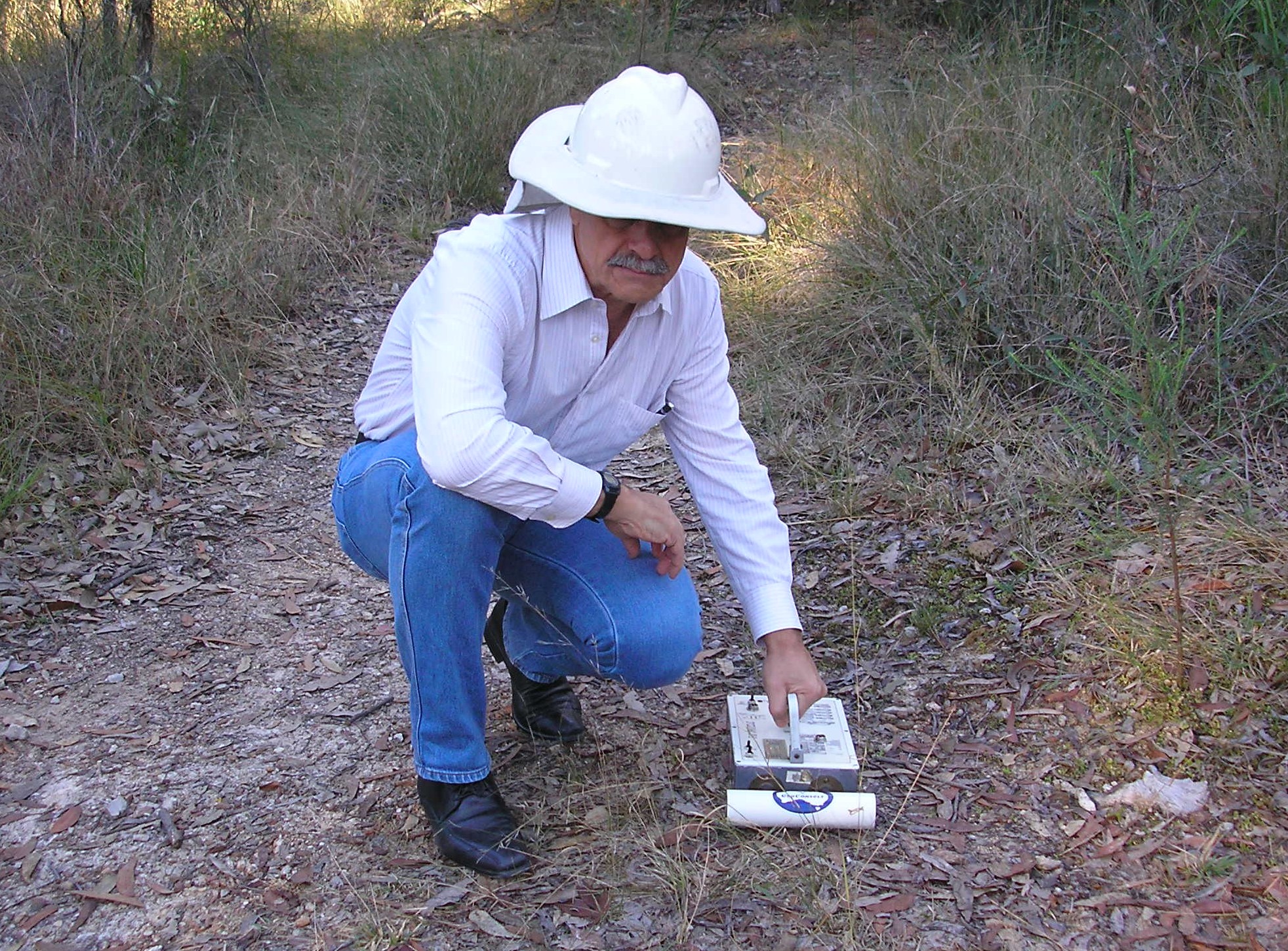
Mining exploration traditionally involves locating a site that might have valuable resource underground and then drilling numerous and expensive holes to find out for sure. Professor David Thiel from the Griffith School of Engineering was not convinced this was the best approach. Using his expertise in radio waves and antenna theory he developed an instrument called the Thiel surface-impedence meter.

The shallow survey technology to map underground geological features at a fraction of the price of drilling and is safer than high energy methods such seismic surveying. The success of this technology has led to an exclusive licensing agreement with Geoconsult Pty Ltd, a small to medium enterprise located in Brisbane, to deliver underground mapping services to mining and civil engineering groups globally.
The technology uses the interactions of very low frequency (VLF) radio waves reflecting between the different layers of the subsurface to build a structural map. The technology is battery powered, thus eliminating the need for external power sources, and only requires only one operator.
The tool typically provides information up to depths of 50 metres, making it ideal for open cut mine surveying for precision mapping of faults, dislocations and terminations in the coal seam.
“This is a more sophisticated mining technique,” explains Thiel. “I’m motivated to make sure the things I work on and the products and systems we develop are of use and value to industry.”
The technology was commercialised through Griffith’s in-house technology transfer service Griffith Enterprise.